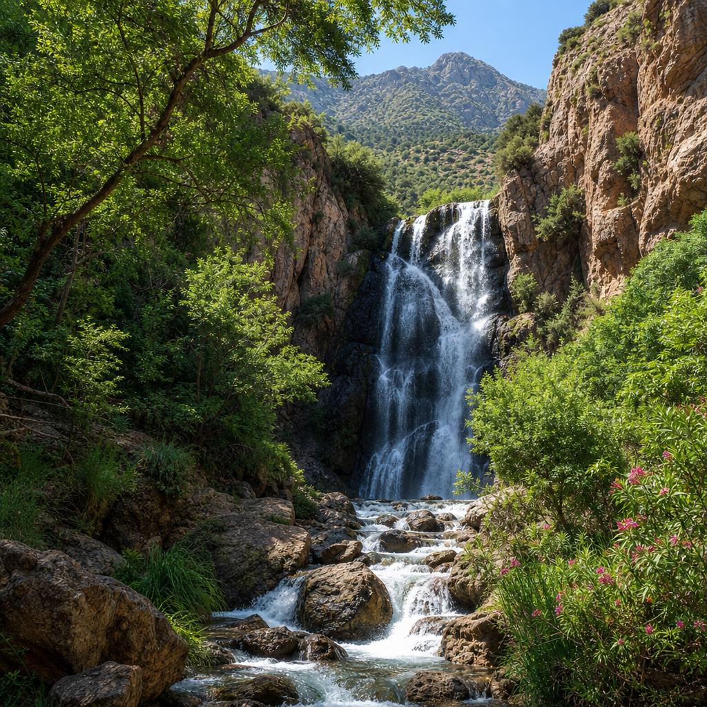
The Unique Terrain Characteristics of Waterfall Routes
The trails approaching the waterfalls and cascades of the Middle Atlas pass through several distinct terrain types before reaching the water. The first section of most routes is standard forest walking on packed earth — familiar, manageable, and forgiving. As you descend toward the valley floor where streams run, the trail narrows, the gradient steepens, and the surface begins to shift. Loose scree appears on steeper banks, roots cross the path at awkward angles, and the ground beside the stream alternates between soft muddy banks and exposed limestone rock.
In the final approach to a waterfall, the terrain becomes its most technical. Spray from the cascade keeps surrounding rock permanently damp, regardless of season. This wet rock — particularly limestone — is significantly more slippery than it appears visually. The film of moisture and algae on waterfall-adjacent boulders is the most common cause of falls near cascades globally, and the Middle Atlas is no exception. Treating this terrain with deliberate, slow movement — placing each foot with full attention before committing weight — is the correct technique.
Creek Crossings: Reading the Water and Choosing Your Line
Many waterfall routes in the Middle Atlas involve crossing the same stream multiple times during a single hike. The crossings range from simple step-across points on dry stone to knee-deep ford sections in high water. Stream level varies dramatically with season: late spring snowmelt can make crossings that are trivial in August into genuinely difficult fords in May. Your guide will assess crossing points on the day and choose the safest available line — this is not a decision to make independently based on what a trail map or photo shows.
At a crossing, technique matters as much as the right footwear. Unbuckle your hip belt before fording any water deep enough to risk a stumble — this allows you to remove your pack quickly if you lose balance. Face slightly upstream when crossing moving water; the current then pushes you toward your intended direction rather than away from it. Use a trekking pole or a sturdy stick on the upstream side as a third contact point. Never jump between wet boulders unless the landing is clearly stable and dry.
- Unbuckle your pack hip belt before any water crossing
- Face slightly upstream when fording moving water
- Use a trekking pole or stick as a third contact point
- Do not jump between wet or mossy boulders
- Ask your guide to assess crossing difficulty before committing
- Never attempt high-water crossings — if in doubt, do not cross
Footwear and Gear Specific to Waterfall Terrain
The footwear requirements for waterfall terrain are more specific than for standard forest walking. The absolute priority is grip on wet rock: a shoe with a sticky rubber sole (Vibram or similar) and a well-defined lug pattern performs significantly better than a standard trail runner on damp limestone. Mid-cut boots provide the additional ankle support that scrambling sections demand. Waterproof membranes are useful for keeping feet dry during creek crossings up to boot depth, but once water overtops the boot, they actually hold water in rather than out — factor this into your expectations.
Trekking poles are more useful on waterfall terrain than almost any other route near Azrou. They provide balance on loose streamside banks, serve as depth gauges at creek crossings, and reduce knee stress on the steep descent back to the valley. Gaiters prevent mud and water entering your boots from above. A dry bag or waterproof bag within your daypack is worth using on the waterfall route — protecting your phone, camera, and dry clothing from both rain and the inevitable spray near cascades.
Seasonal Water Levels and When Waterfalls Are at Their Best
The waterfalls and cascades near Azrou are most dramatic between late winter and late spring, when snowmelt feeds maximum flow through the valley streams. March through May typically offers the most impressive cascades and the lushest streamside vegetation. Summer reduces flow considerably — some smaller cascades may be reduced to a trickle or dry completely by August, while the main waterfalls retain flow year-round. Autumn brings returning rainfall and often a middle ground between the dramatic spring flow and the dry summer condition.
Verify current water conditions with your guide before planning a waterfall-specific hike. Describing a route as 'waterfalls' when the cascades are dry in late summer can be disappointing; conversely, attempting a waterfall route in peak snowmelt conditions without appropriate experience and guidance can be dangerous. Your guide will know current conditions and can recommend the best seasonal alternative if the primary waterfall target is not accessible or not at its best when you visit.